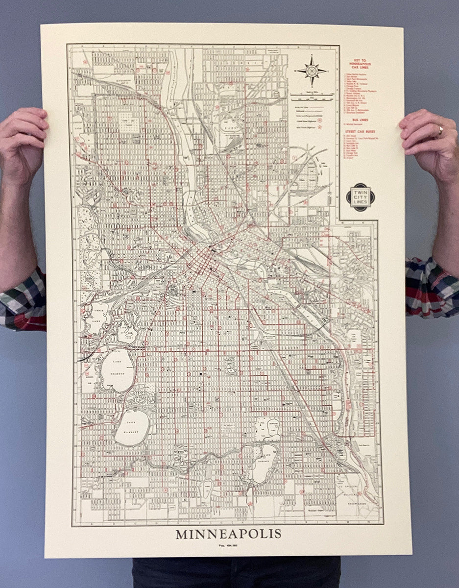
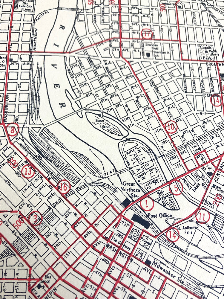
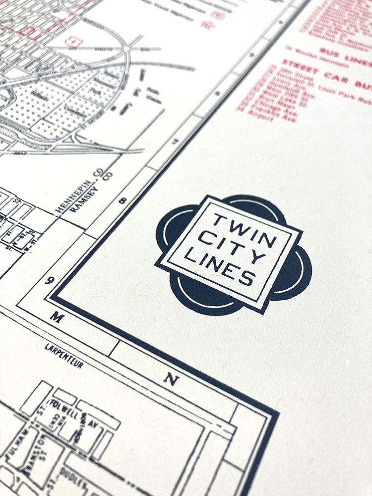
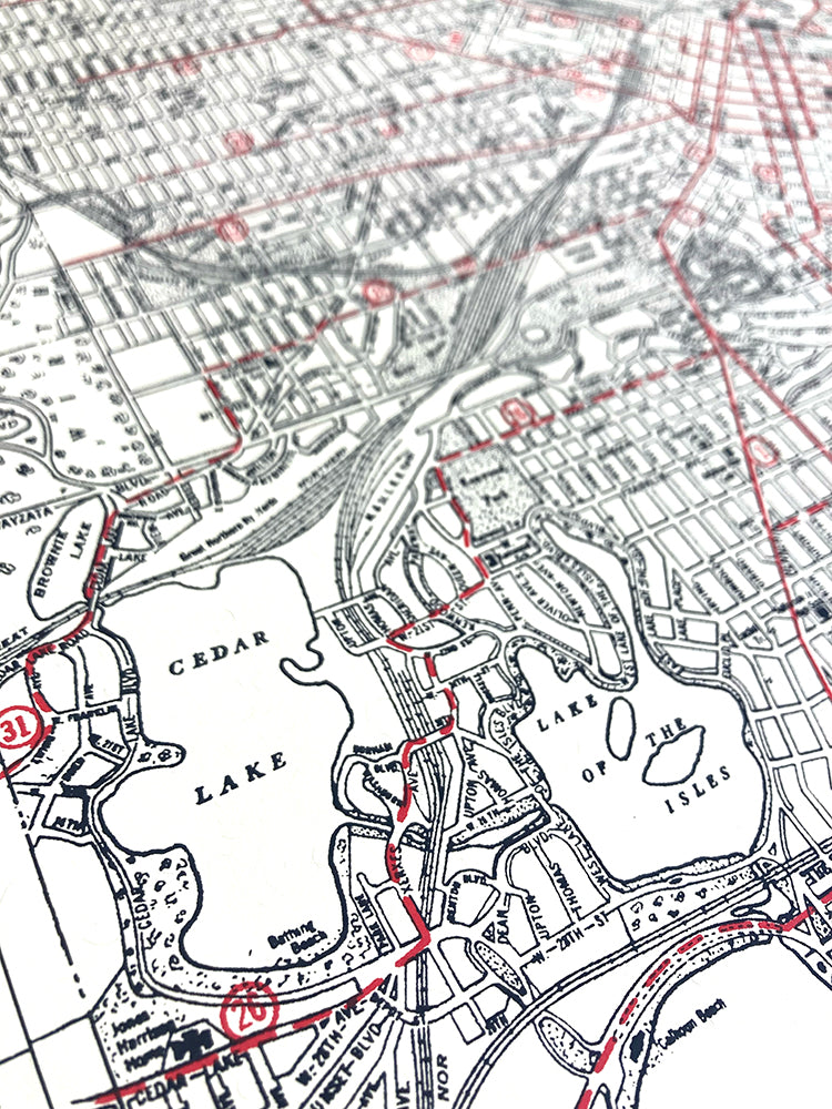
A 1940s era map of Minneapolis, highlighting the streetcar lines which once ran through both of the Twin Cities. Scanned and rebuilt with surgical precision by Wes Winship, then printed up BIG so you can enjoy all the bygone details.
24 x 36"
2 color screen print on Domtar Cougar Natural paper
Screen printed by Ben LaFond